Virtual Companion – custom augmented reality app employing LocusEngine, a geolocative process developed by IDIA Lab.
https://idialab.org/launch-of-virtual-companion-ios-app-by-…/
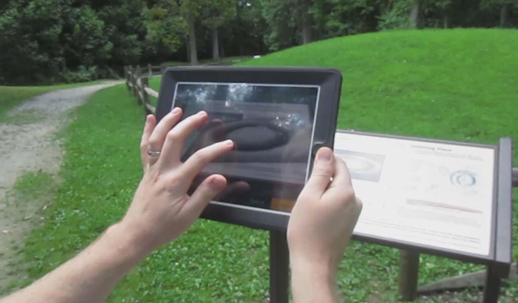
A person holds a tablet in front of an outdoor information sign, using the device to display augmented reality content over a grassy mound.
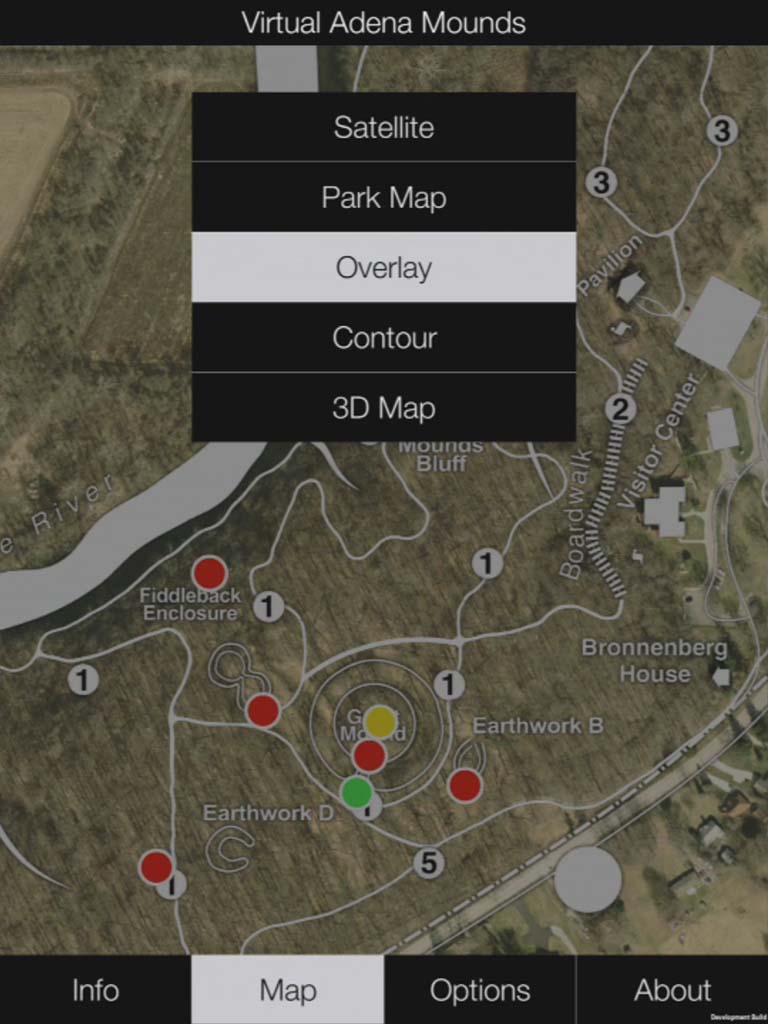
Map interface of Virtual Adena Mounds showing several earthworks, marked colored dots, and a menu with map view options including Satellite, Park Map, Overlay, Contour, and 3D Map.
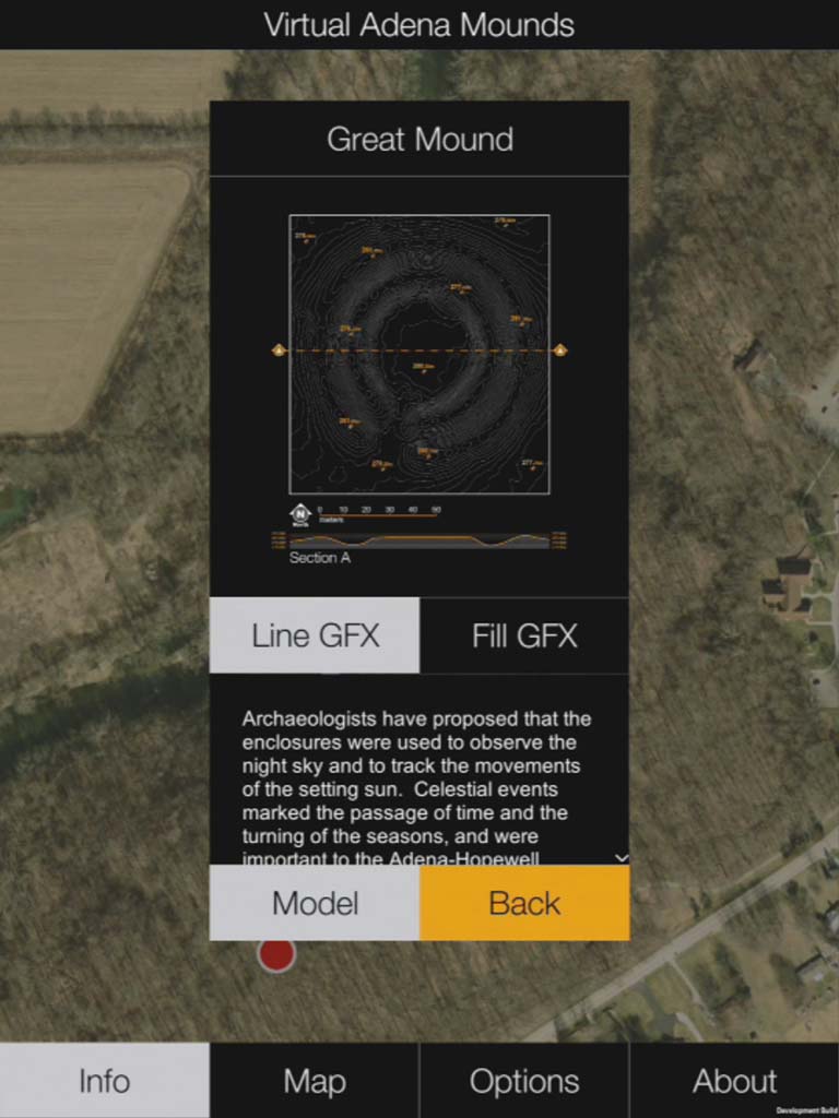
A virtual interface displays information about the Great Mound, including a diagram, text on celestial observations, and navigation buttons over a satellite map background.
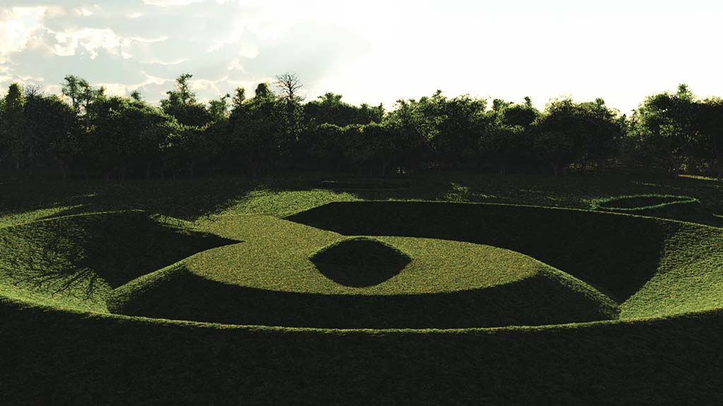
Aerial view of a large grassy landscape with geometric shapes and raised earth patterns, surrounded by dense trees in the background.