
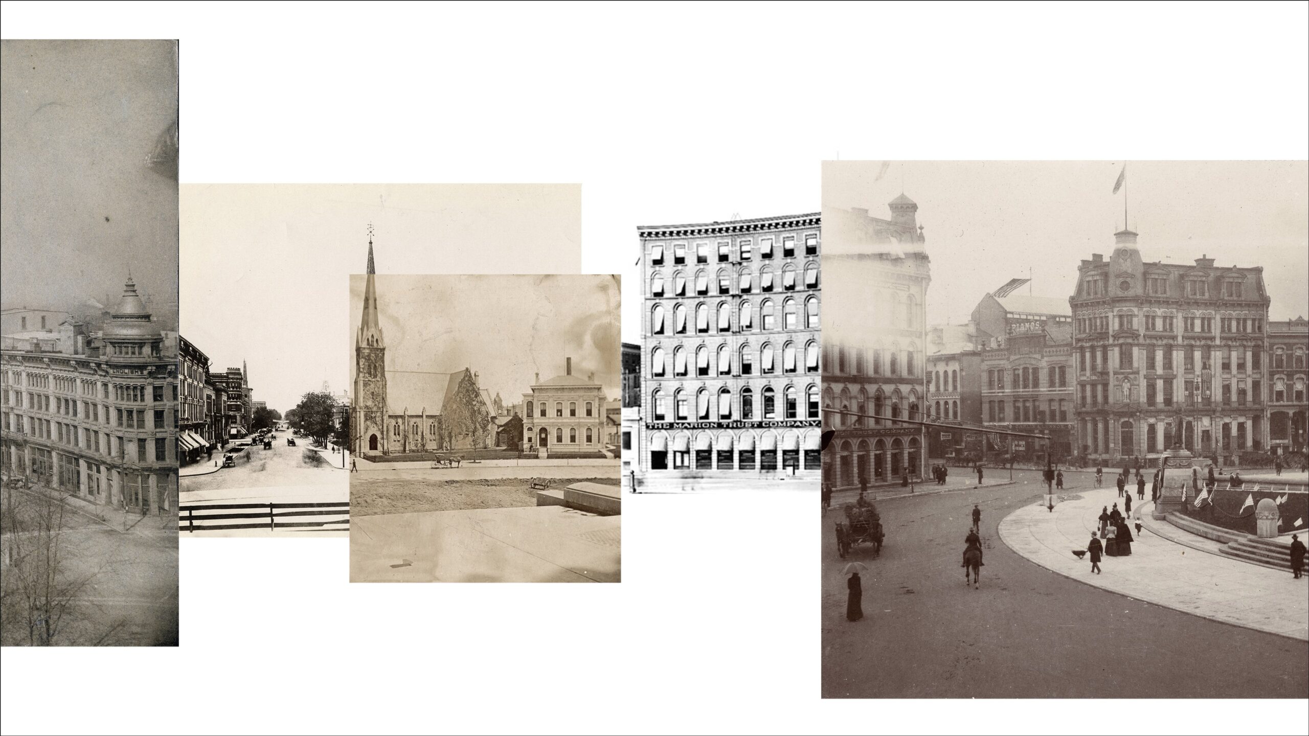
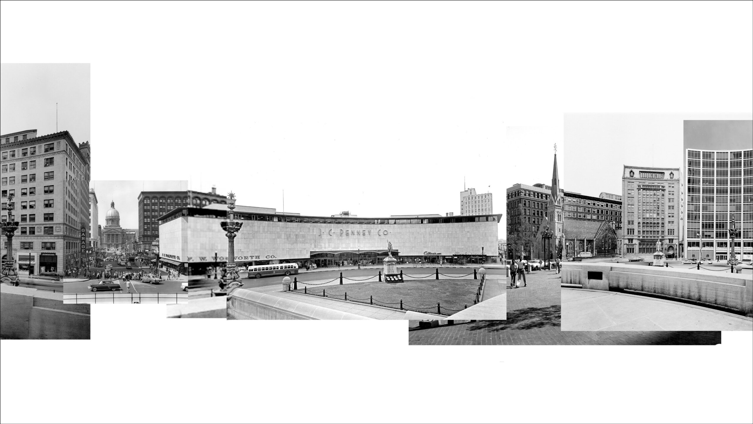
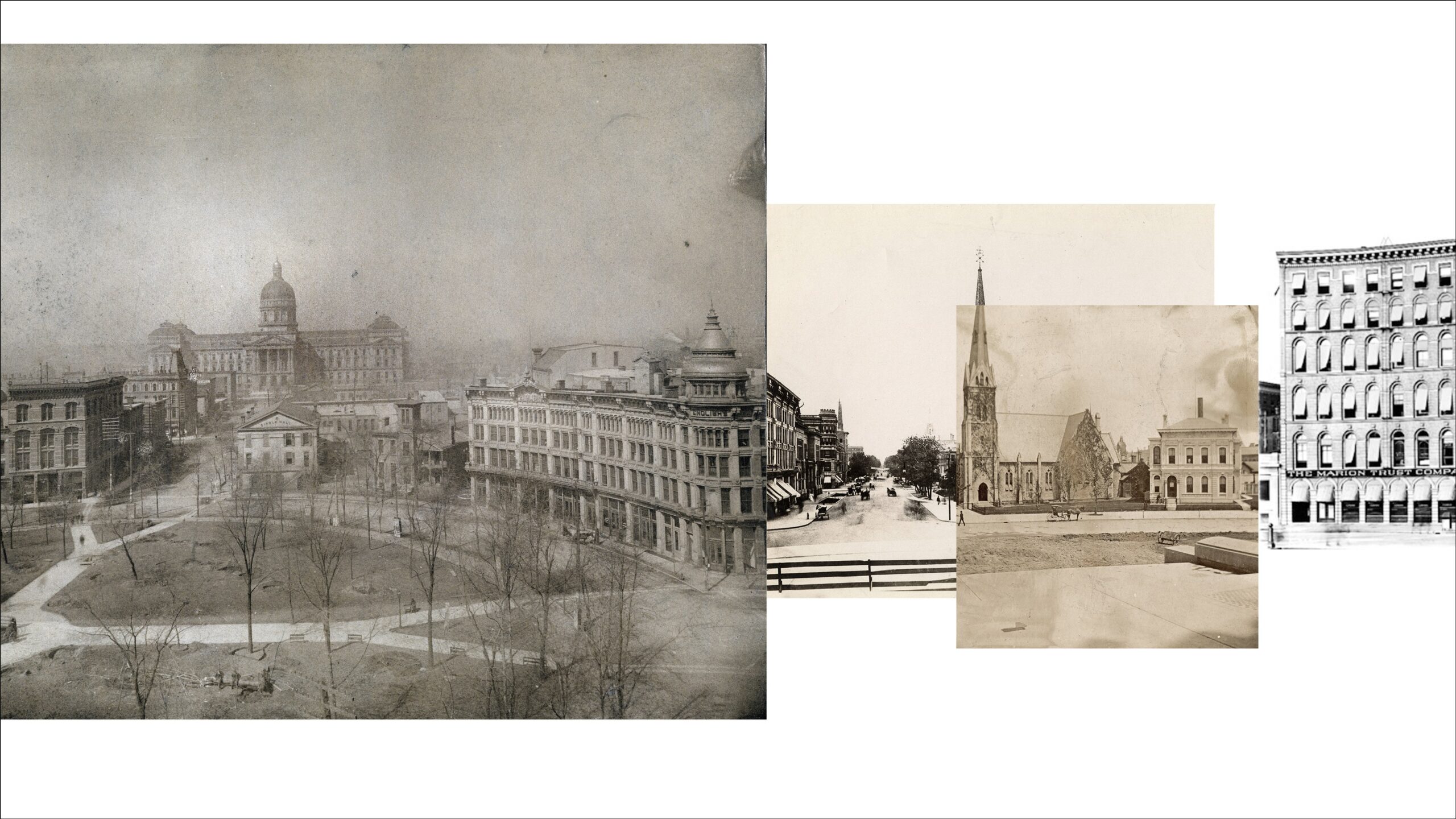
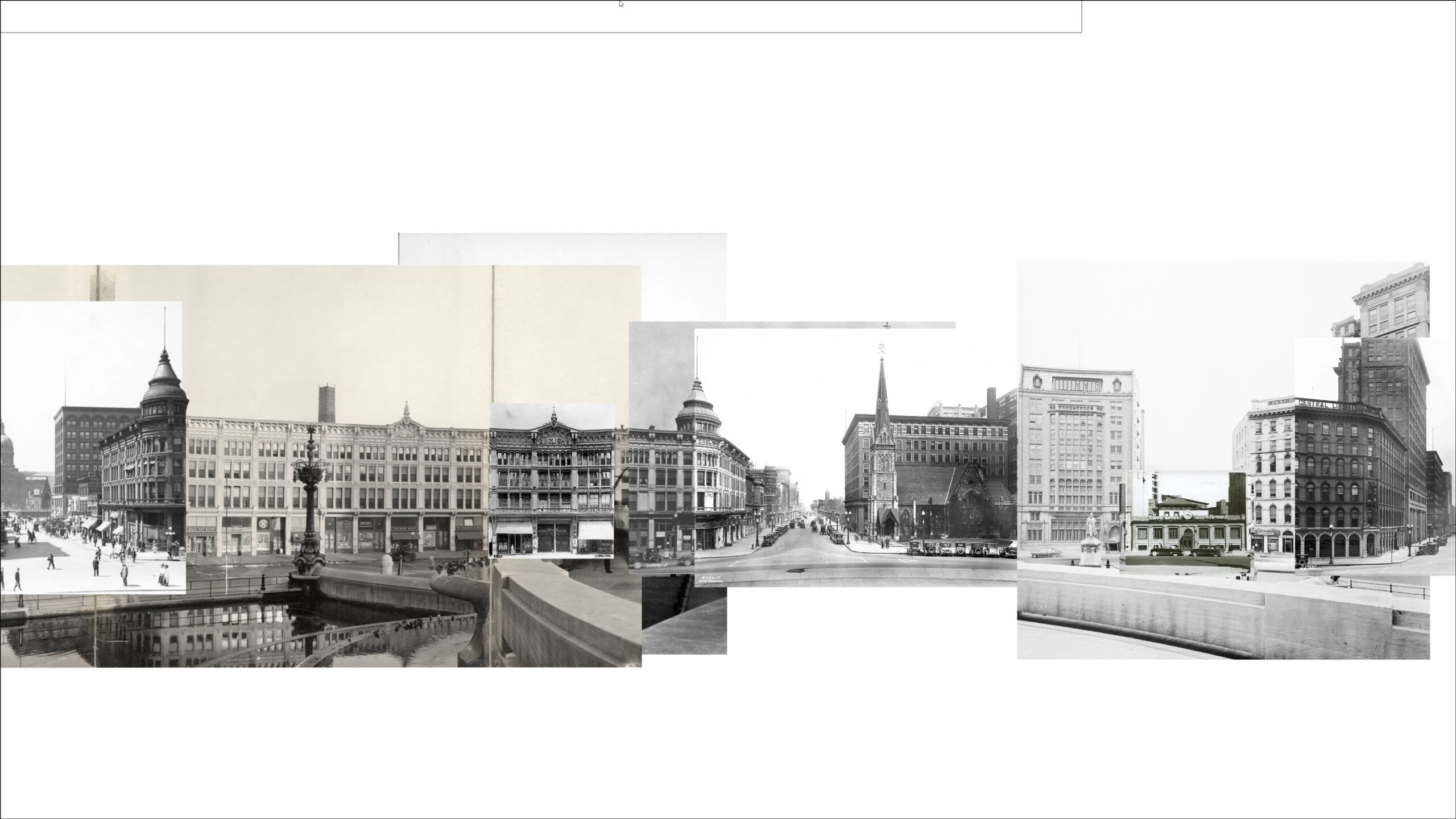
Virtual Monument Circle is a mobile application that uses historic photographs and maps of downtown Indianapolis, IN to create an immersive interpretation of various historic phases of the city center. This project is a prototype for a larger potential city-wide endeavor bringing to life significant neighborhoods and sites within the city. It is developed as a possible collaboration between the Institute for Digital Intermedia Arts at Ball State University, the Polis Center at Indiana University Purdue University Indianapolis and the Indiana Historical Society.
There are two experiences with the content dependent on the proximity of the user’s location – onsite and offsite. It will be available soon for both iOS and Android.


Virtual Monument Circle was designed and produced by the Institute for Digital Intermedia Arts at Ball State University. Special thanks to the Polis Center at IUPUI and the Indiana Historical Society.
For more information contact: idialab@bsu.edu